Basins
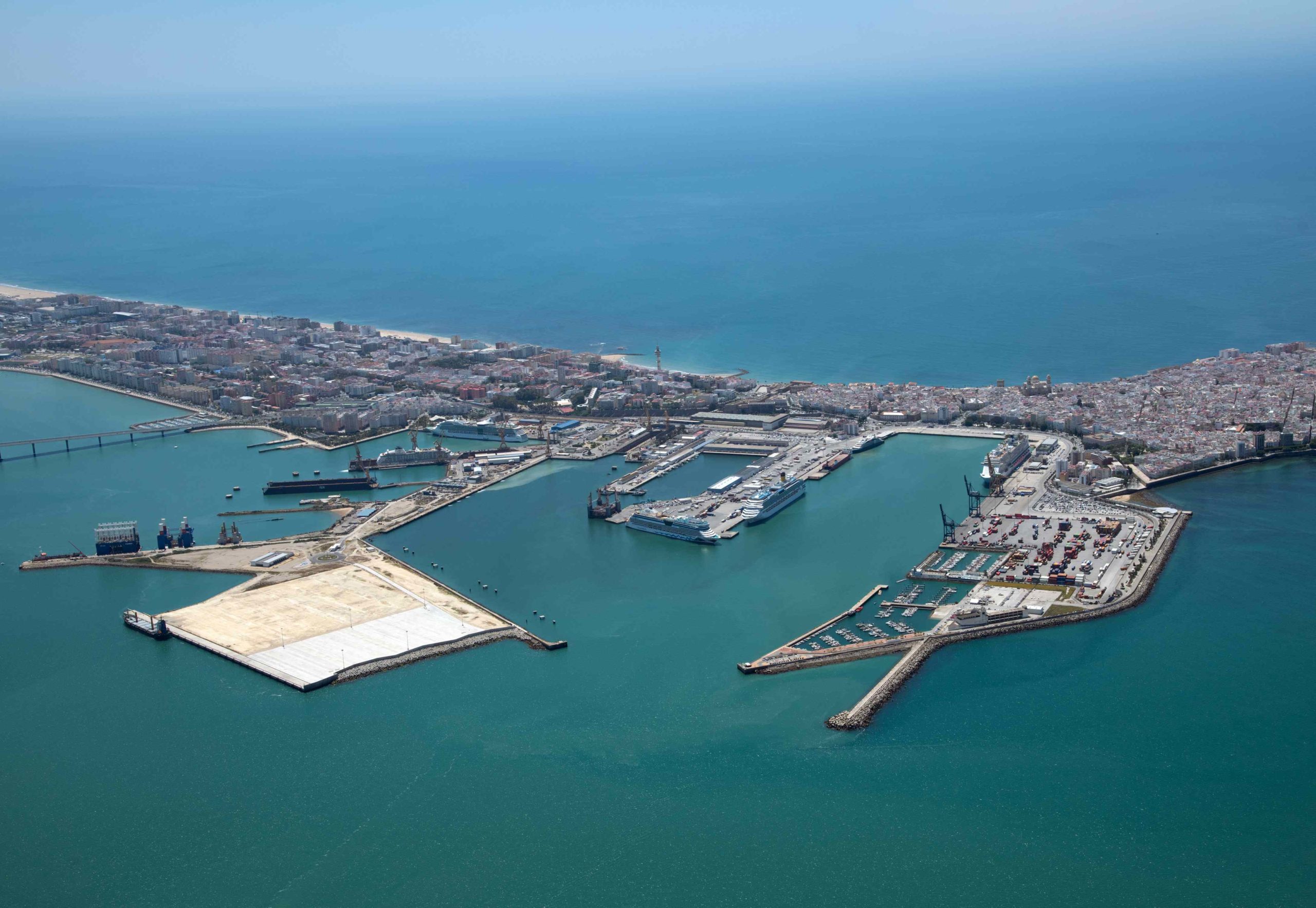
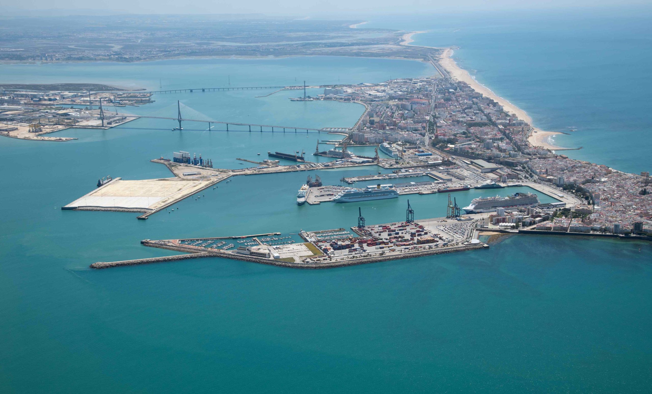
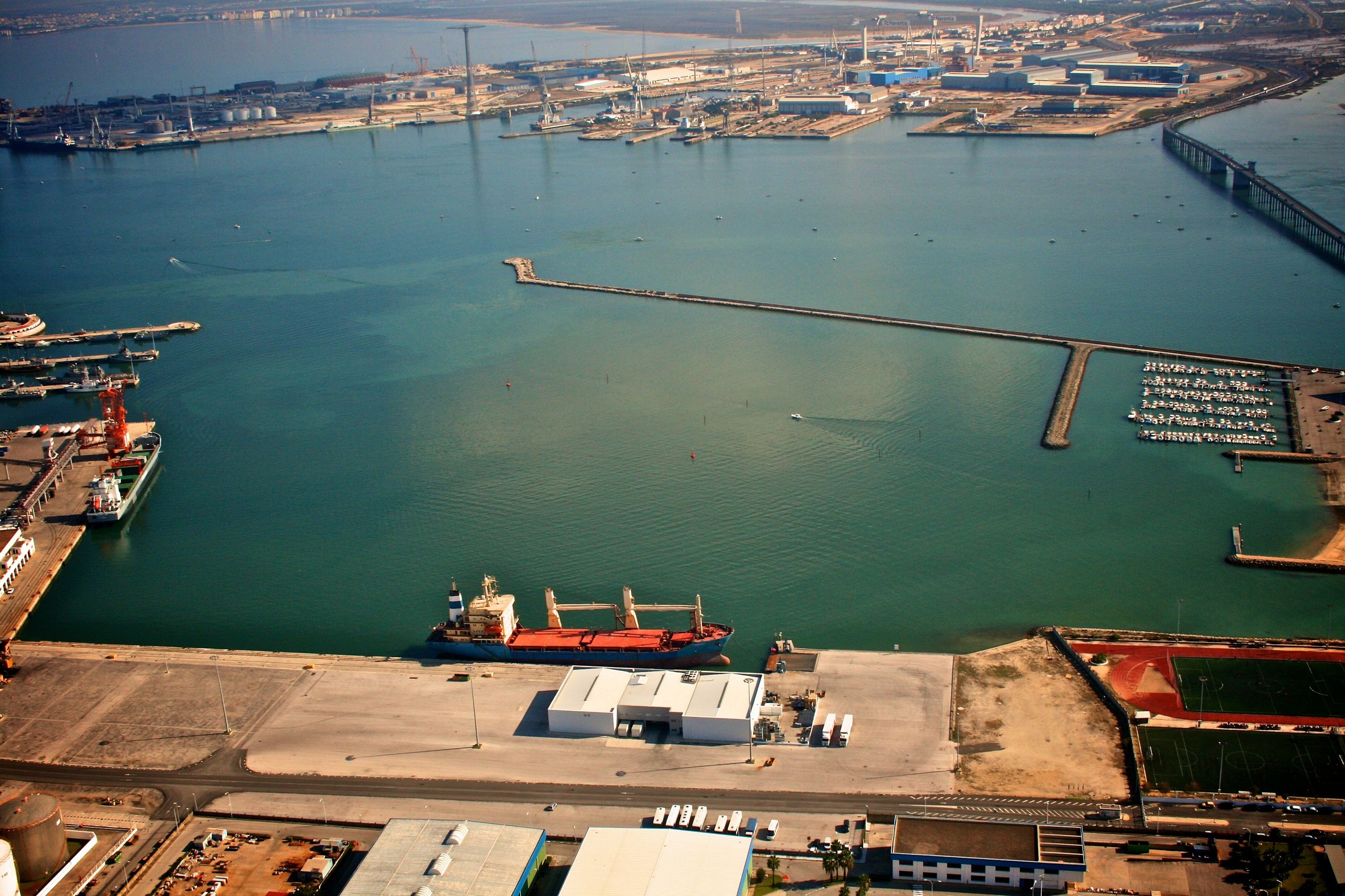
Cadiz
| TECHNICAL CHARACTERISTICS | |
|---|---|
| Location | Longitude: 6º 17′ West Latitude: 36º 32′ North |
| Entrance Channel | Wide: 250 m. Longitude: 3.600 m. Depth in low tide: 13 m. |
| Sheltered water surface | 224 hectares |
| Land surface | 125 hectares |
| Use | Commercial, Fishing, Passengers and Sailing. |
| Special facilities | Reparation and Transformation Center of Vessels ruled by Navantia, S.L. |
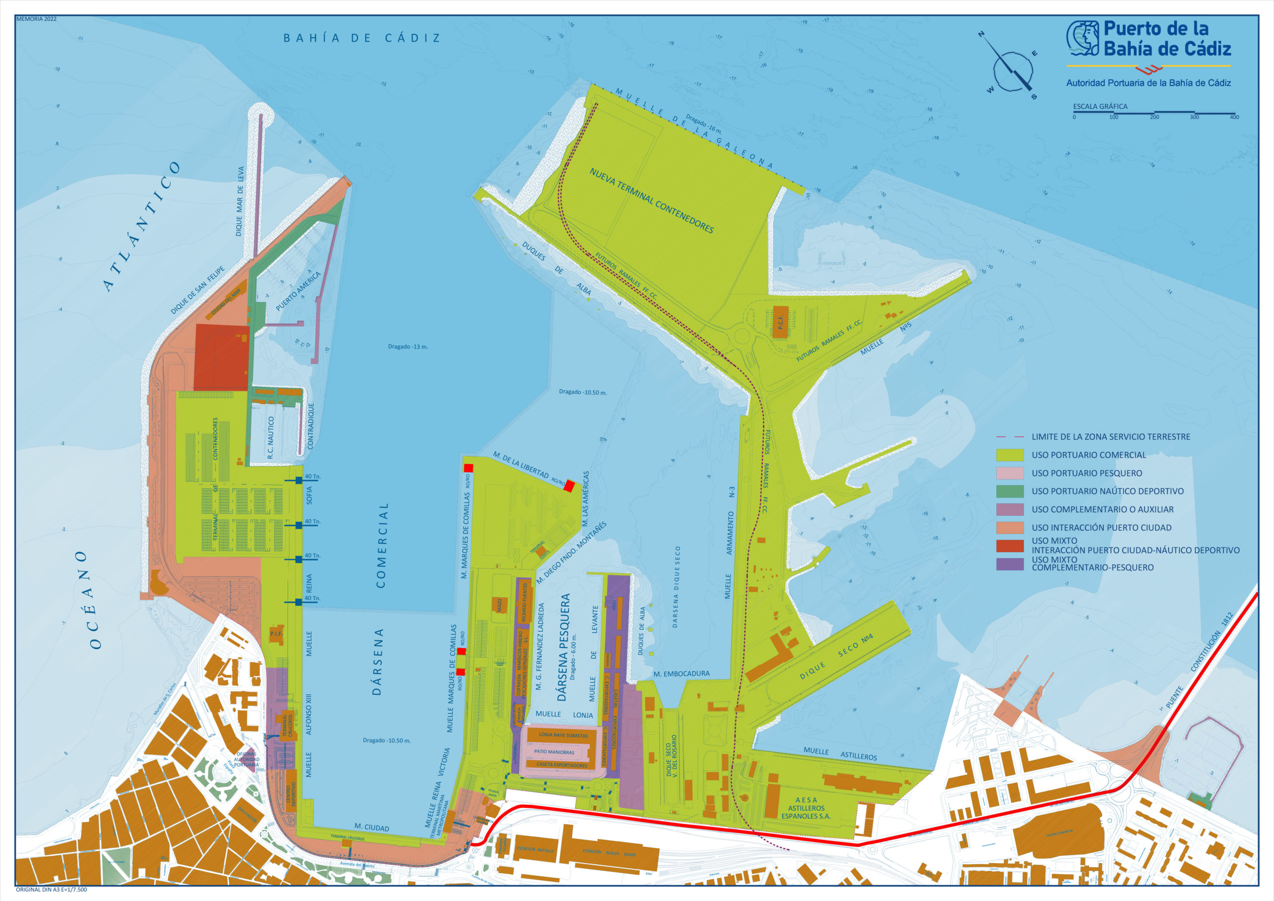
| COMMERCIAL BASIN | |||||||
|---|---|---|---|---|---|---|---|
| Quays | Longitude (mts.) | Depth (mts.) | Deposits (m2) | Equipped with | Traffic | Equipm. | |
| Reina Sofía | 600 | 11.5 | 100,000 | 3 container cranes 40 tns. | Containers and cruises | 1 scale 60 tns. | |
| Reina Victoria | 206 | 8.5 | 8,218 | Passengers terminal | General and passengers | ||
| Marqués de Comillas | 636 | 10 | 12,793 | 2 ro-ro ramps 100 tons. | General and ro-ro | Warehouse, fridge and storage pit | |
| Muelle de la Libertad | 304 | 10.5 | 58,000 | 1 ro-ro ramp 100 tons | Paseengers and ro-ro | ||
| Muelle de las Américas | 110 | 10.5 | 1 ro-ro ramp 100 tons | General | Ro-Ro and passengers | ||
| Muelle Ciudad | 316 | 9 | 18,535 | Cruise Terminal | Passengers | ||
| Alfonso XIII | 180 | 10 | 12,550 | Cruise Terminal | Passengers | ||
| La Galeona | 590 | 16 | 22,727 | Containers | |||
| Muelle 5 | 350 | 8 | Miscellaneous | ||||
| TOTAL | 3,292 | 305,096 | |||||
| FISHING BASIN | |||||||
|---|---|---|---|---|---|---|---|
| Quays | Longitude (mts.) | Depth (mts.) | Deposits (m2) | Traffic | Equipm. | ||
| Fernández Ladreda | 340 | 6 | 24,600 | Fish services | Auxiliary | ||
| Levante | 369 | 6 | 24,752 | Fish services | Auxiliary | ||
| Nueva Lonja | 167 | 6 | 20,975 | Fish services | Auxiliary | ||
| TOTAL | 910 | 70,327 | |||||
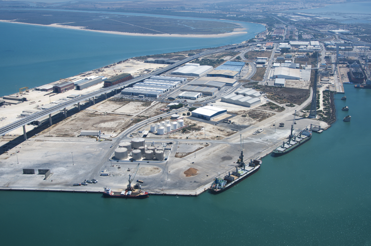
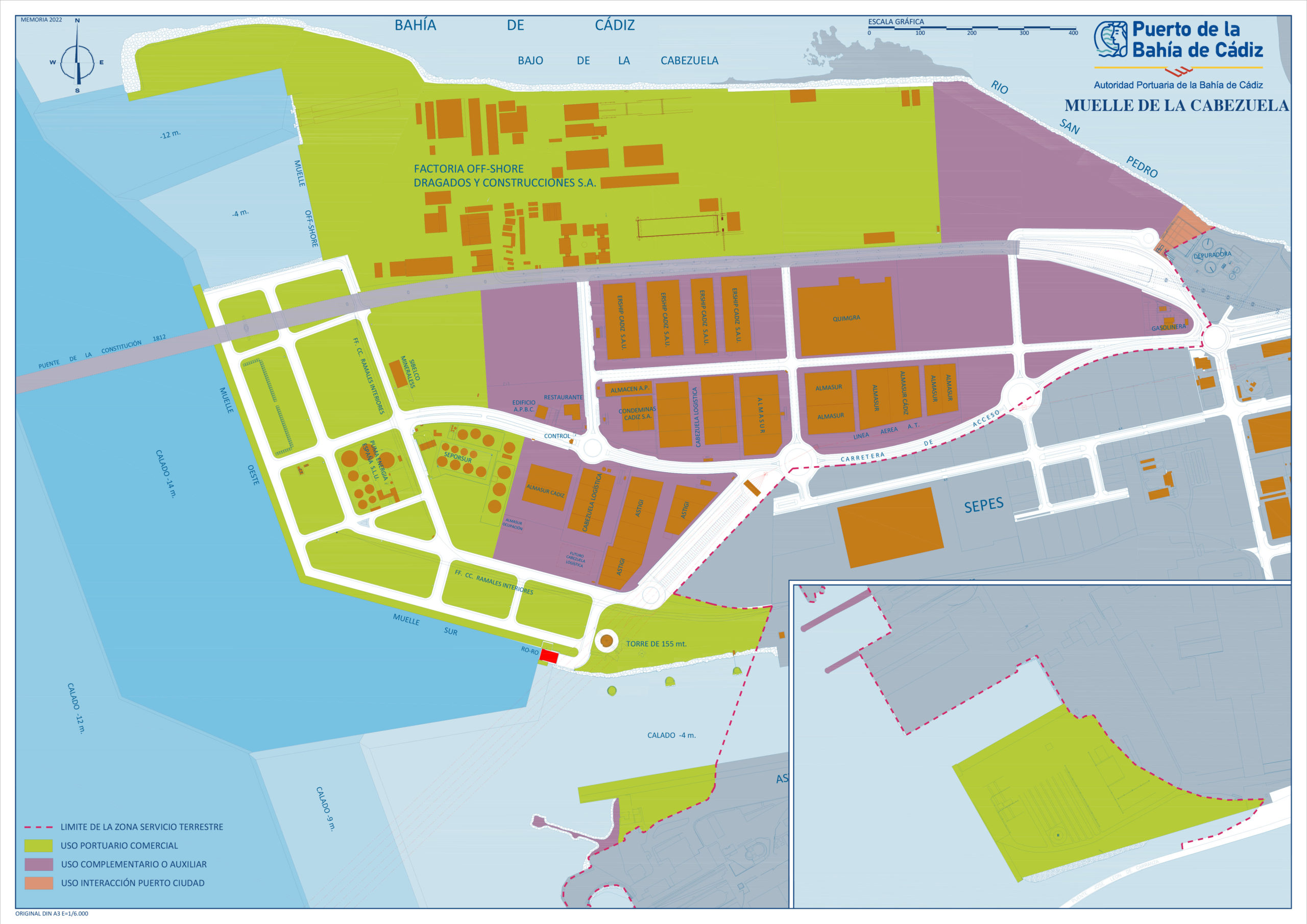
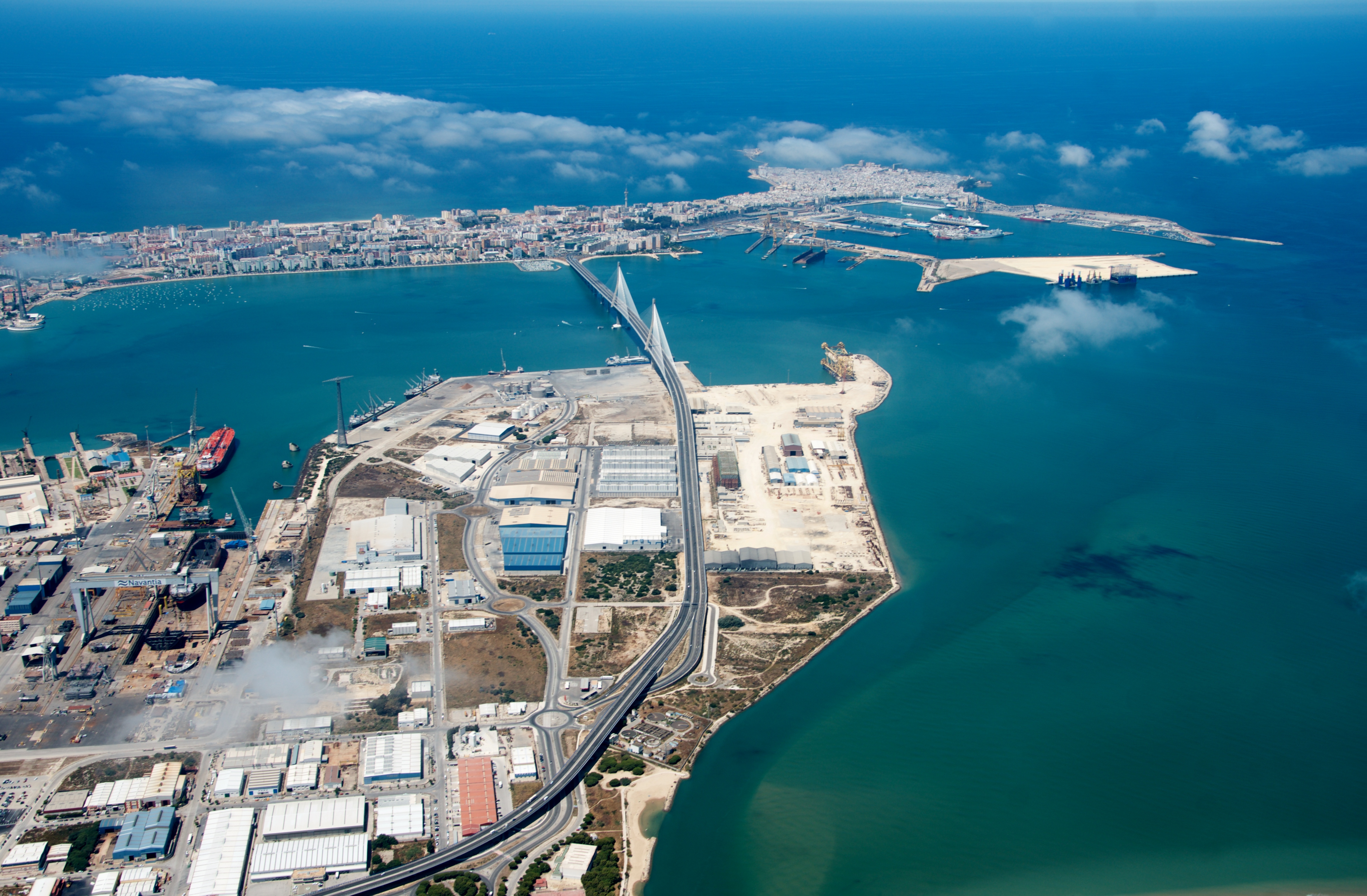
La Cabezuela – Puerto Real
| TECHNICAL CHARACTERISTICS | |
|---|---|
| Location: | Longitude: 6º 15´West Latitude: 36º 31´North |
| Entrance Channel: | Wide: 250 m Lenght: 2.000 m Depth in low tide: 13 m |
| Land surface: | 163 hectares |
| Use: | Commercial -Dry and Liquid bulks |
| Special facilities: | Off-Shore Plant ruled by Dragados Off-Shore, S.A. and construction center of vessels ruled by Navantia, S.L. |
| LA CABEZUELA-PUERTO REAL QUAYS | |||||||
|---|---|---|---|---|---|---|---|
| Quays | Longitude (mts.) | Depth (mts.) | Deposits (m2) | Cranes / ramps | Traffic | Equipement | Instalations |
| La Cabezuela West | 612 | 13.5 | 161.303 |
1 ro-ro ramp 100 tns. 1 automobile 154 tns. |
Bulks | 1 scales 60 tns. | Warehouses |
| La Cabezuela South | 481 | 855.957 | |||||
| TOTAL | 1.093 | 1.017.260 | |||||
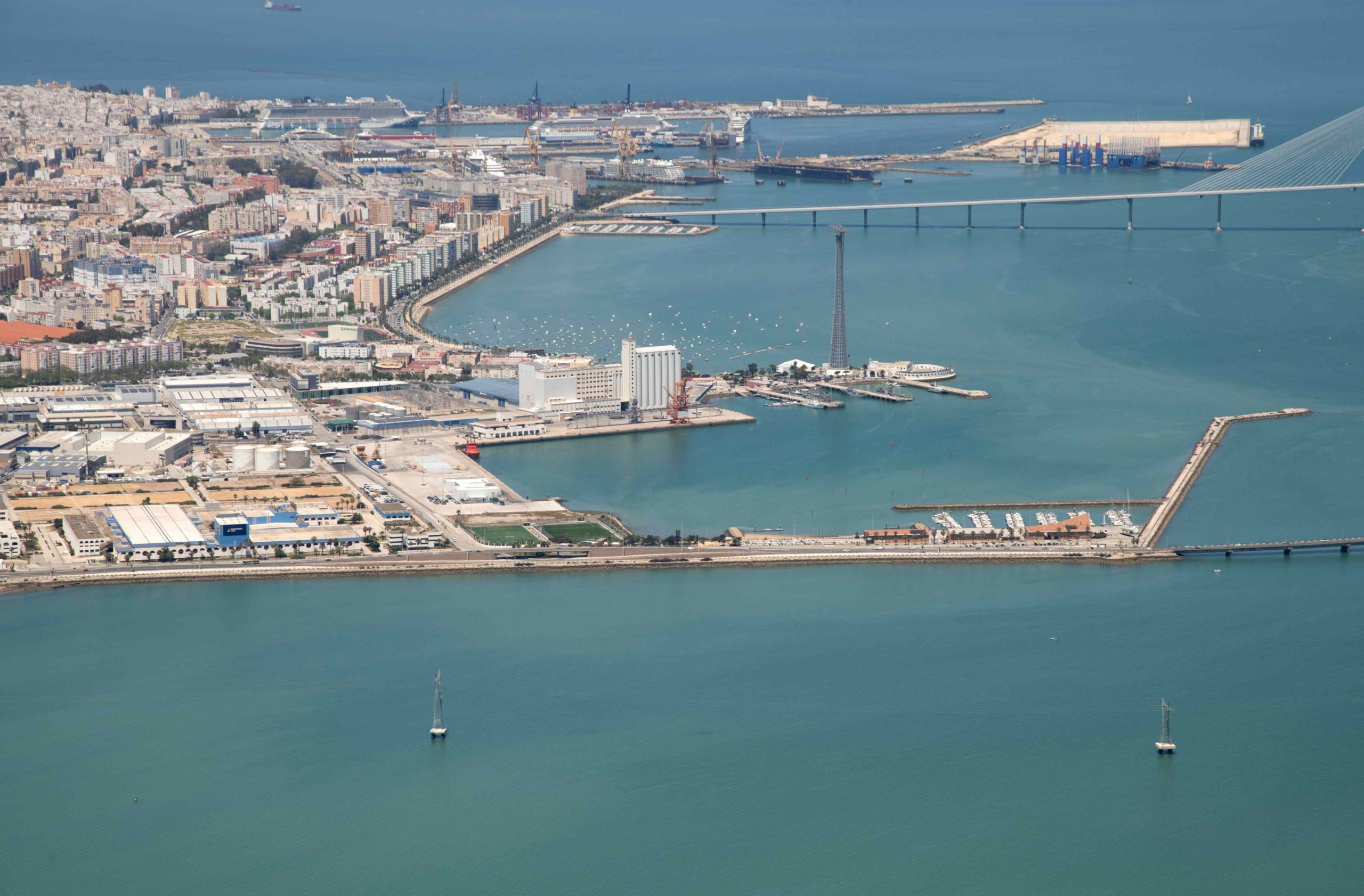
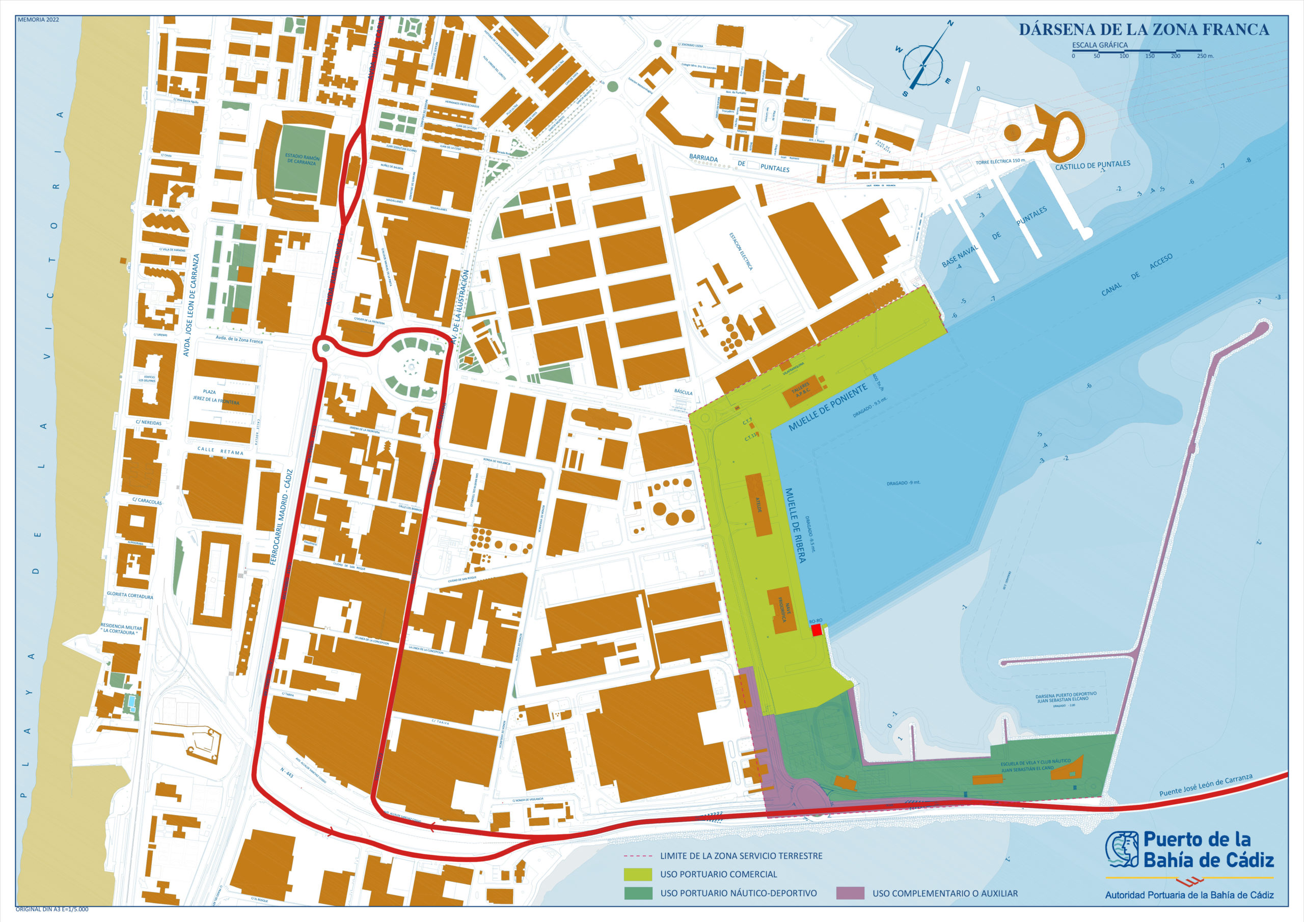
Zona Franca
| TECHNICAL CHARACTERISTICS | |
|---|---|
| Location | Longitude: 6º 15′ West Latitude: 36º 30′ North |
| Entrace Channel | Wide: 160 m. Lenght: 1.200 m. Depth in low tide: 9 m. |
| Sheltered water surface | 4,3 hectares |
| Land surface | 15 hectares |
| Use | Commercial and sailing. |
| Special facilities | Ruled by Free Trade Zone Consortium, this basin has a wide area where goods can be stored in duty free status. As public concession the Cadiz Town Hall rules a sailing center called ELCANO.- |
| FREE TRADE ZONE | |||||||
|---|---|---|---|---|---|---|---|
| Quays | Longitude (mts.) | Depth (mts.) | Deposits (m2) | Cranes / ramps | Traffic | Instalations | |
| Poniente | 325 | 10 | 17.401 | General and bulks | Warehouses, storage pits, industrial surface | ||
| Ribera | 323 | 10 | 52.225 | 1 ro-ro ramp 100 tns. 1 automobile cranel 38 tns. |
General and bulks | Warehouses, fridges, offices, industrial surface | |
| TOTAL | 648 | 69.626 | |||||
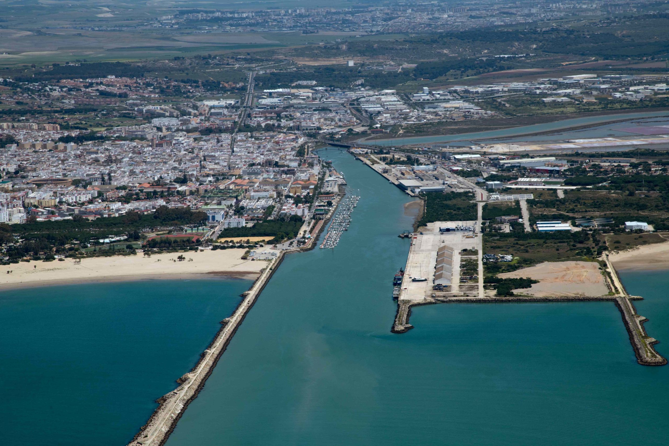
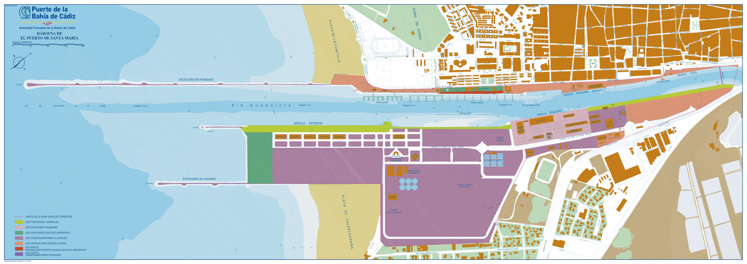
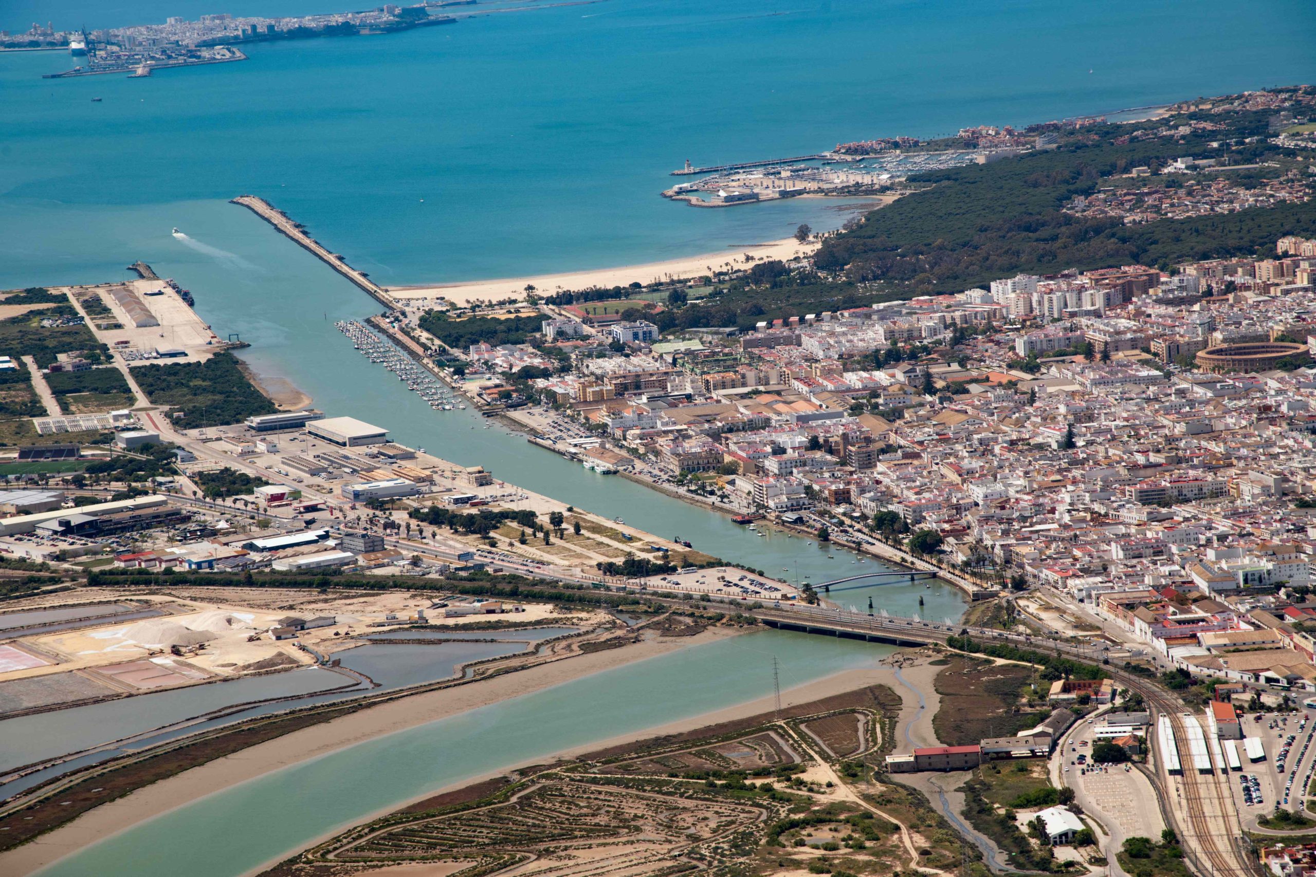
El Puerto de Santa María
| TECHNICAL CHARACTERISTICS | |
|---|---|
| Location: | Longitude: 6º 14´West Latitude: 36º 35´North |
| Entrace Channel: | Wide: 80 m Lenght: 1.250 m Depth in low tide: 5,50 m |
| Sheltered water surface: | 92 hectares |
| Land surface: | 110 hectares |
| Use: | Commercial, Fishing and Sailing |
| EL PUERTO DE SANTA MARIA BASIN | |||||||
|---|---|---|---|---|---|---|---|
| Quays | Longitude (mts.) | Depth (mts.) | Deposits (m2) | Traffic | Equipement | Instalations | |
| Exterior | 774 | 5 | 83.034 | General and cruises | 2 scales 60 tns. | Warehouses and sheds | |
| Pesquero | 1.043 | 4,5 | 101.169 | Fishing | Fish market and warehouses | ||
| TOTAL | 1.813 | 184.203 | |||||
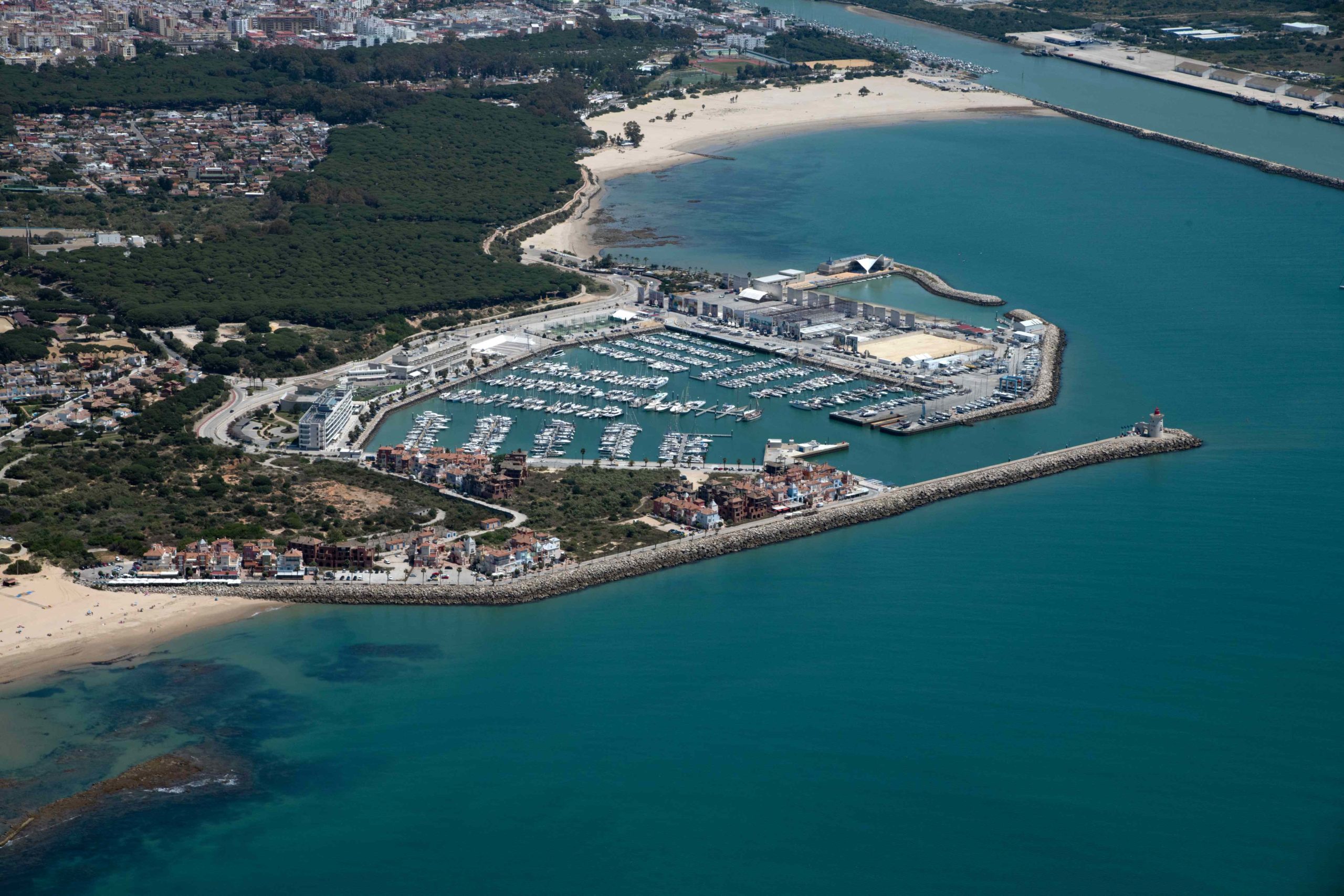
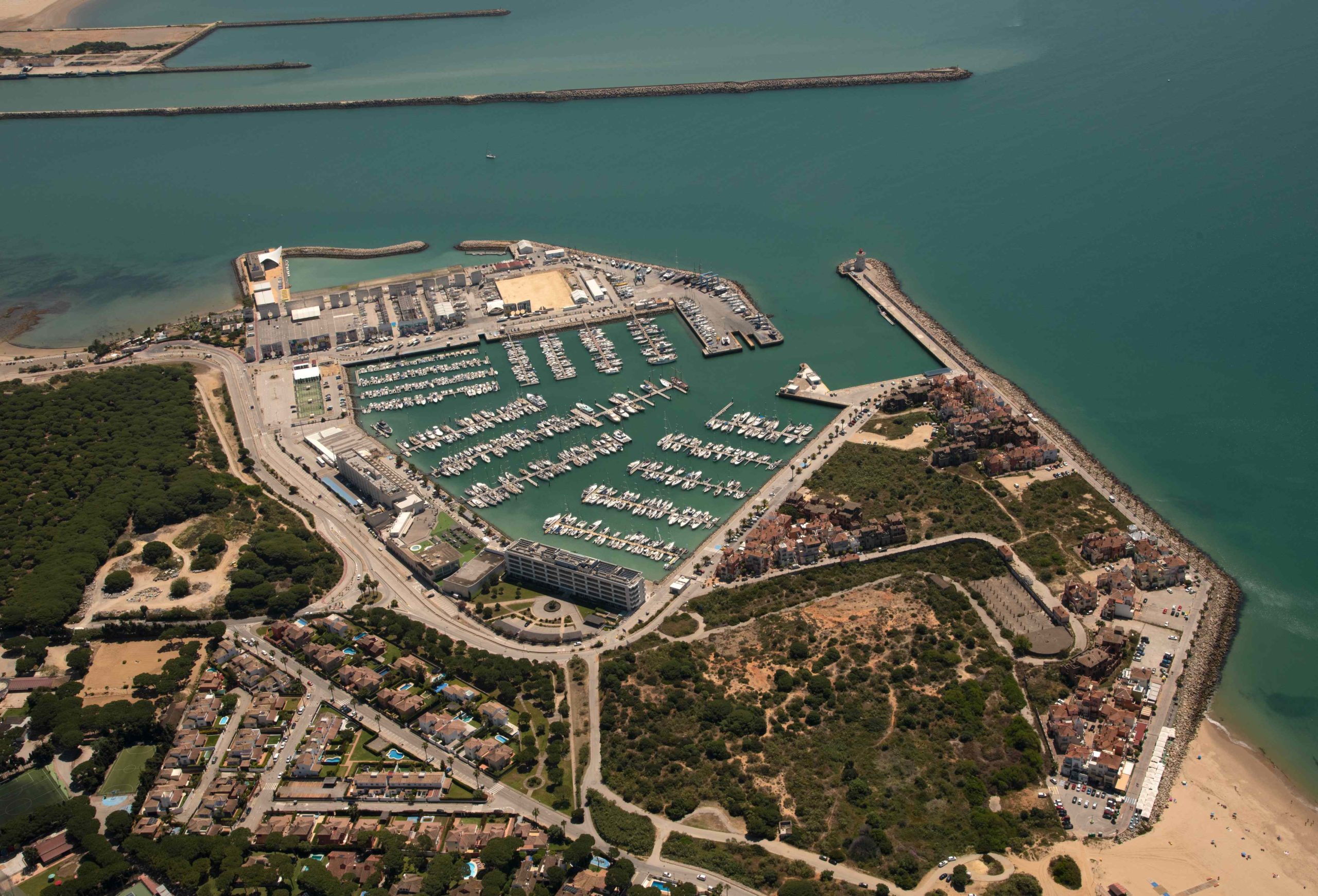
Puerto Sherry
| TECHNICAL CHARACTERISTICS | |
|---|---|
| Location: | Longitude: 6º 15´ West Latitude: 36º 35´ North |
| Entrace Channel: | Wide: 100 m Lenght: 200 m Depth in low tide: 3 m |
| Sheltered water surface: | Main: 13,520 hectares Concrete beach: 1,785 hectares |
| Land surface: | 21,8 hectares |
| Use: | Sailing |
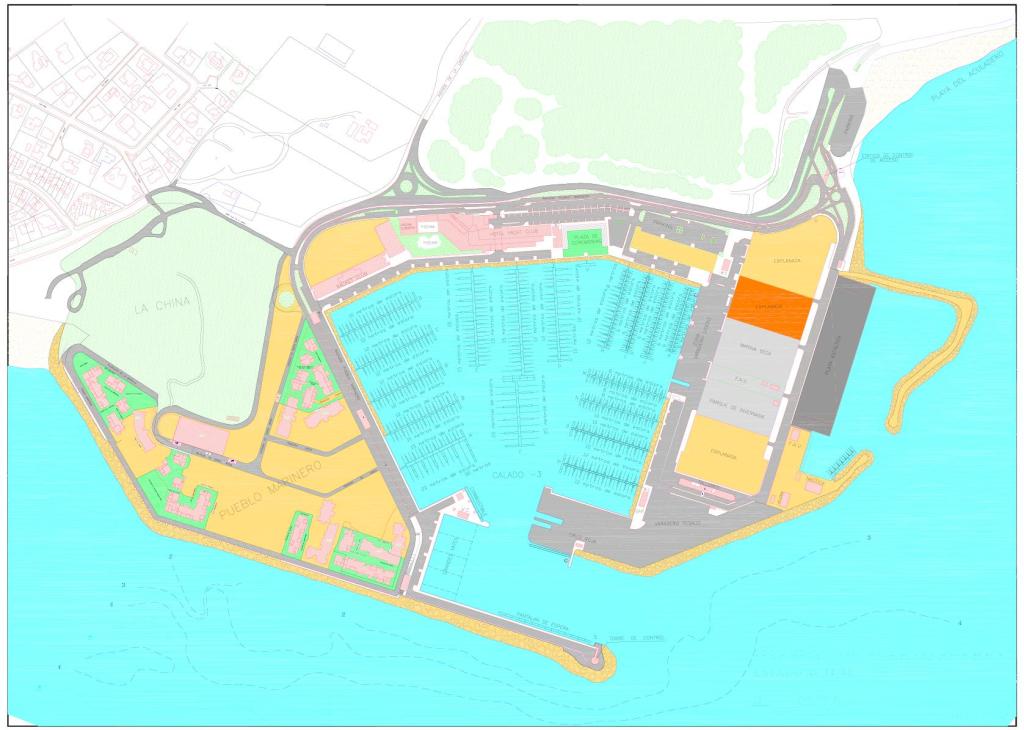
| Zones: | Basin – Dry Marina – Dry Dock – Concrete Beach |
Despite it belongs to the Public Domain of the Port Authority of Cadiz Bay, the management of sailing basin is not direct responsability of the Port Authority of Cadiz Bay, thata management is granted to Marina Puerto de Santa María, S.A.. For futher information you can consult the web site www.puertosherry.com.
| PUERTO SHERRY | |||
|---|---|---|---|
| Zone | Specifications | ||
| Dársena | Deep: 3 metros Mooring Types: 11 types Mooring number: 800 Lenght: From 5 to 50 metres |
||
| Marina Seca | Type: Estanterías Capacity: 500 boats Lenght: From 4 to 8 metros |
||
| Varadero | Capacity: 25,000 square meters paved with energy and water points Special Facilities: 3 travelift pools, 1 travelift of 50 Tm, 1 forklift with capacity of 10 Tm Annexes: Workshops, Ship chandlers and Yacht brokers |
||
| Rampa Asfáltica | Capacity: 1,785 hectares of inside water | ||

